California has added interactive maps for several counties in the state, including three in the greater Bay Area, as part of its ongoing Tsunami Hazard Area project mapping the entire coastline of California.
The California Geologic Survey released maps Tuesday for Alameda, Monterey and San Mateo counties. The interactive maps allow users to insert an address to determine if the property is subject to potential tsunami flooding.
The project updates maps made in 2009 with new data from improved computer modeling showing how far inland a surge of seawater might go in a worst-case scenario.
The maps are available online at https://www.conservation.ca.gov/cgs/tsunami/. Updates are in the works for Contra Costa, Marin, Napa, San Francisco, Santa Clara, Santa Cruz, Solano and Sonoma counties.
For the local maps just released, changes to the existing tsunami hazard maps show that in a worst-case tsunami, sizeable areas of Alameda, Oakland, and Berkeley could be flooded up to an 18-foot elevation.
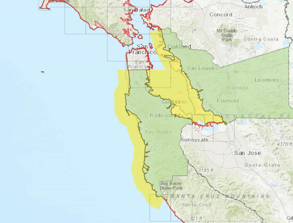
Along the outer coast of San Mateo County, the biggest change is in Half Moon Bay, where seawater could cross state Highway 1 through much of the community north of Arroyo Leon.
Further south, the city of Monterey and Moss Landing saw slight increases in hazard areas due to higher projected surges, whereas the high dunes near Salinas River State Beach and Monterey Dunes Colony Association were removed from the hazard area.
The new maps also provide local officials with more detailed information for evacuation plans.
“After 10 years of research following the Tohoku-Oki earthquake and tsunami in Japan, we’re releasing maps with many improvements to keep Californians safe,” said Dr. Steve Bohlen, acting state geologist who heads the California Geologic Survey. “Japan utilized data from several hundred years of tsunami records in its planning, which seemed perfectly reasonable, then was hit by a once-a-millennium tsunami. So, we’re using a thousand-year scenario as the baseline for our new maps, hoping to avoid the tragic loss of life experienced there. While damaging tsunamis are infrequent in California, if you’re on the coast, you need to be aware of this potential hazard.”
More than 150 tsunamis have hit California’s shore since 1800, state officials said. Many were barely noticeable, but a few have caused fatalities or significant damage — most recently the 2011 tsunami that not only devastated Japan but caused $100 million of damage to California ports and harbors.
The most destructive tsunami to hit California occurred March 28, 1964, according to the California Geologic Survey. Several surges reaching 21 feet high swept into Crescent City four hours after a magnitude 9.2 earthquake in Alaska, killing 12 and leveling much of the town’s business district. For most of California, the biggest tsunami threat would result from another huge earthquake in the Aleutian Islands.
Copyright 2021 Bay City News, Inc.